search
Turkey satellite map
Map of Turkey satellite. Turkey satellite map (Western Asia - Asia) to print. Turkey satellite map (Western Asia - Asia) to download. Turkey as on satellite view extends more than 1,600 km (994 mi) from west to east but generally less than 800 km (497 mi) from north to south. Total land area is about 783,562 km2 (302,535 sq mi), of which 756,816 km2 (292,208 sq mi) are in Asia and 23,764 km2 (9,175 sq mi) in Europe (Thrace) as its shown in Turkey satellite map. Coastline: 7,200 km (4,474 mi) Maritime claims: exclusive economic zone: in the Black Sea only: to the maritime boundary agreed upon with the former USSR territorial sea: 6 nmi (11.1 km; 6.9 mi) in the Aegean Sea; 12 nmi (22.2 km; 13.8 mi) in Black Sea and in Mediterranean Sea. Surrounded by water on three sides and protected by high mountains along its eastern border, the country generally has well-defined natural borders. Its demarcated land frontiers were settled by treaty early in the twentieth century and have since remained stable.
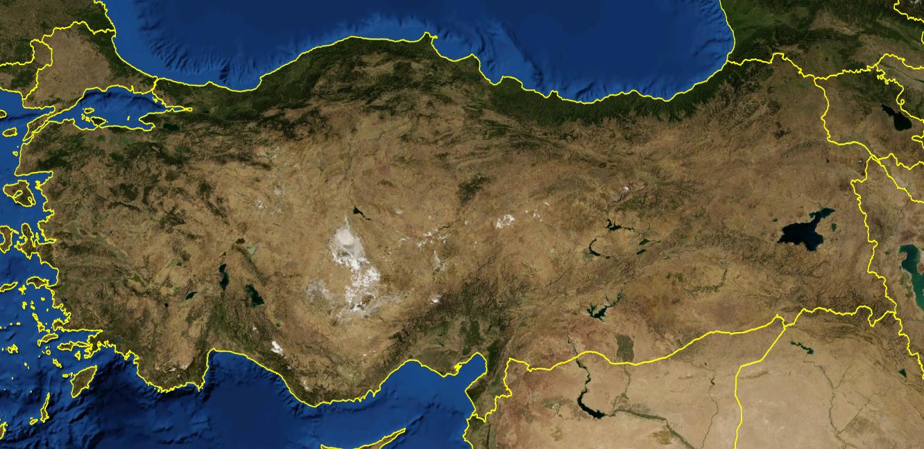
The satellite view and the map show Turkey a country in Western Asia on the Anatolian peninsula with the Mediterranean Sea to the south, the Aegean Sea in the west, and the Black Sea in the north as its mentioned in Turkey satellite map. The country occupies a small enclave in southeastern Europe on the Balkan Peninsula (East Thrace) which is separated from the mainland by the Bosporus, the Sea of Marmara, and the Dardanelles. Turkey shares international borders with Armenia, Azerbaijan, Bulgaria, Georgia, Greece, Iran, Iraq, and Syria. It shares maritime borders with Cyprus, Egypt, Northern Cyprus, Romania, Russia, and Ukraine.