search
Turkey sea map
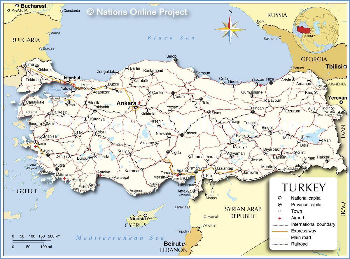
Map of Turkey sea. Turkey sea map (Western Asia - Asia) to print. Turkey sea map (Western Asia - Asia) to download. The Turkish peninsula is bathed by four seas as its shown in Turkey sea map: the Mediterranean to the south, the Aegean to the west, the Sea of Marmara between the European and Asian land masses, and the Black Sea to the north. The Black Sea (Karadeniz in Turkish) lies to the north of Turkey, bordering with two regions; Marmara and Black Sea. It is connected to the Sea of Marmara with the Bosphorus Strait in the southwest. The Mediterranean Sea (Akdeniz in Turkish) is surrounded by Asia to the east, Europe to the north and Africa to the south. It is connected to the Atlantic Ocean to the west with Gibraltar Strait. It is also connected to the Red Sea in the southeast with the Suez Canal in Egypt, a man-made canal built in 1869. And to the east it is connected to the Sea of Marmara by Dardanelles Strait. Aegean and Marmara Seas are often considered as a part of the Mediterranean Sea. The sea gave also its name to the Mediterranean region of Turkey.
The Sea of Marmara (Marmara Denizi in Turkish) is an inland sea within the Marmara region connecting to the Black Sea with the Bosphorus Strait in the northeast, and to the Aegean Sea with the Dardanelles Strait in the southwest. It lies between Thrace and Anatolia parts of Turkey, covering an area of over 11 thousand square kilometers (4247 square miles). It is approximately 280 kilometers (174 miles) long from northeast to southwest and about 80 kilometers (50 miles) wide at its greatest width as its mentioned in Turkey sea map.The Aegean Sea (Ege Denizi in Turkish) is a part of Mediterranean Sea lying between Turkey and Greece. It is connected to the Sea of Marmara by Dardanelles Strait to the northeast. It covers an area of 214 thousand square kilometers (about 83 thousand square miles), stretching for about 660 kilometers (410 miles) from north to south, and reaching at a maximum depth of 3543 meters (11624 feet).


